Varied terrain and spectacular views enjoyed by 13 Doncaster Ramblers


This article contains affiliate links. We may earn a small commission on items purchased through this article, but that does not affect our editorial judgement.
With a myriad of footpaths crisscrossing the terrain, Anne had clearly researched and recced to make this a walk to remember not least because of the 35 stiles climbed.
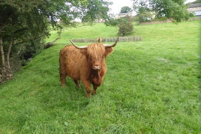
Starting from the graveyard of St Michael the Archangel it felt like an easy climb northward along grassy field edges and un-mowed meadows, some with lazy grazing highland cattle.
Advertisement
Hide AdAdvertisement
Hide AdAt a hidden clearing behind hedges, we stopped for elevensies before plunging into woodland, followed by a climb to 690ft and we hadn’t gone three miles yet.
At the National Coal Mining Museum Anne guided us skilfully onto the Wakefield Way, which headed steadily south across ploughed fields, newly muck spread, more grassland and eventually through Bank Wood, with its invasive Himalayan Balsam, and at 1.30pm we stopped for lunch by fallen trees.
Sustained and re-energised and still smiling Anne pushed us on, now on to the Kirklees Way only to jump off right towards Emley Old Farm, and its cute suckler calves. Moving on through scrub and shrub we approached the final one and three quarter mile slow incline, we were weary but happy.
So much variety in one day, varied terrain, spectacular views, 13 ramblers, and a pint of Ossett Ale what more could you want?
Places of Interest
Advertisement
Hide AdAdvertisement
Hide AdEmley Moor is dominated by the transmitting station mast which is 331 metres high and a Grade II listed structure.
The Wakefield Way is a 70 mile, waymarked walking route around the Wakefield Metropolitan District and covers a wide variety of landscapes.
The route is divided into 11 sections of varying length with start and end points accessible by public transport.
The Kirklees Way is a 72-mile (115 km) waymarked footpath in Kirklees metropolitan district, West Yorkshire, England. It was opened in 1990 and includes the upper Colne Valley, Spen Valley and Holme Valley.
Advertisement
Hide AdAdvertisement
Hide AdPlease visit our website Doncaster Ramblers for latest information, including future activity. Also follow us on Facebook Ramblers for details of past Rambler outings.
Remember while out observe the Countryside Code and give way to other walkers.
Doncaster Ramblers have a programme of Tuesday and Saturday walks, mostly between eight and 11 miles.
All the walks are led by Ramblers leaders and we always have a backmarker. Most of us take a flask for a hot drink mid-morning, followed by a packed lunch, usually in the vicinity of a pub or a cafe.
A photographic record of most of our walks can be seen on the website.